
What Makes a Geofence Safe for Autonomous Fleets?
Learn how autonomous fleets define, validate, and expand safe geofences using ODDs, real-world evidence, and continuous monitoring.
A Geofence Is More Than a Boundary on a Map
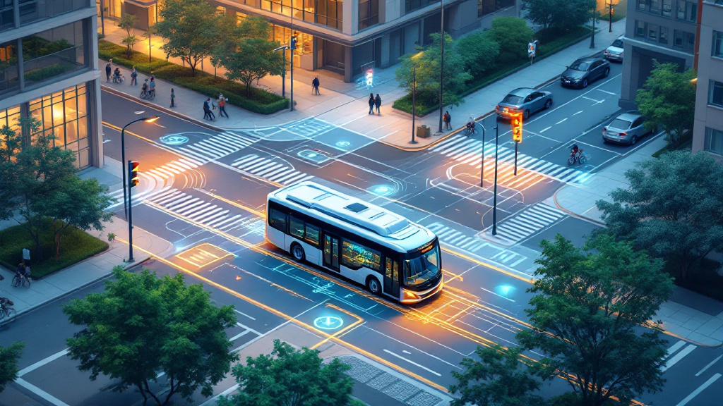
A safe geofence for autonomous vehicles is not simply a polygon drawn around a city block, campus, or delivery zone. It is the geographic expression of an operational design domain (ODD): the specific roads, traffic conditions, weather, lighting, speeds, and infrastructure in which an autonomous-driving system is designed to operate. A well-defined geofence connects location to capability, making clear where the vehicle can drive and where it must request assistance, transition to a fallback state, or stop safely.
For fleet operators and robotaxi providers, this boundary should reflect the system’s actual performance rather than an aspirational service area. A route may appear simple but include difficult intersections, construction zones, steep grades, unprotected turns, rail crossings, or frequent pedestrian activity. The geofence should also account for pickup areas, curb access, parking or staging locations, and suitable fallback locations. By linking the map to vehicle behavior, safety operations, and fleet oversight, operators create a controlled environment where autonomy can be measured, supported, and improved over time.
Validate the ODD Against Real-World Complexity

Defining a geofence is only the first step; operators must validate it against the conditions autonomous vehicles will actually encounter. Road complexity is central. Teams assess lane markings, intersections, traffic signals, roundabouts, merges, curbside behavior, school zones, construction frequency, and interactions with emergency vehicles. They also examine traffic patterns by time of day, including commuter surges, event crowds, deliveries, cyclists, and pedestrian-heavy periods. A route that performs reliably at midday may require restrictions during a stadium event or overnight roadwork.
Weather and infrastructure are equally important parts of fleet safety. Rain, snow, fog, glare, standing water, poor lighting, damaged pavement, blocked signs, and unreliable GPS can change whether the sensor-fusion stack has enough information to act safely. Operators should test camera, radar, lidar, map, and telemetry performance across representative conditions, then define clear thresholds for slowing, rerouting, requesting remote assistance, or ending a trip. The result is an ODD that describes not only where an autonomous vehicle may operate, but also when and under what conditions it may do so.
Expand Service Areas Only When Evidence Supports It

A geofence should evolve through evidence, not optimism. Before opening a new street or extending a robotaxi service area, operators can review simulation results, closed-course testing, supervised drives, disengagements, takeover alerts, remote interventions, emergency braking events, passenger reports, and near-miss investigations. They should compare performance across weather, time of day, traffic density, and vehicle types, looking for recurring patterns rather than relying on a single successful trip. Every intervention should be logged with its location, cause, resolution, and operating conditions so safety teams can identify weak points.
Continuous monitoring is essential after launch. Fleet-management systems can combine incident data, map changes, road closures, maintenance findings, and regulatory requirements to trigger geofence reviews. Expansion may begin with limited hours, lower speeds, additional remote coverage, or restricted pickup points before becoming a full service. If conditions exceed the approved ODD, the vehicle should follow a tested fallback plan, such as pulling over at a safe location or returning to a designated staging area. A safe geofence is therefore a living control: carefully defined, independently reviewed, continuously observed, and expanded only when the evidence demonstrates that the system and its operations are ready.